Snowshoe hiking in Hintersee
A true experience
in deep snow
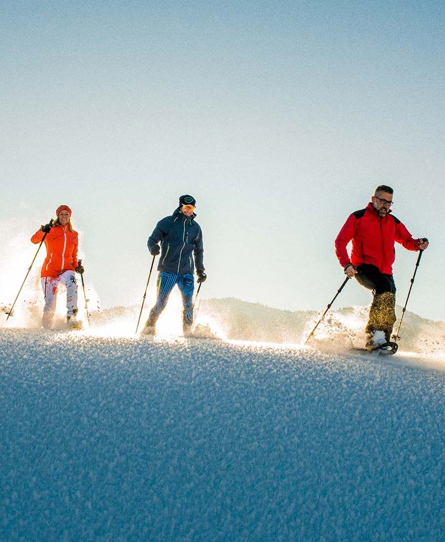
Like touring skiing, snowshoe hiking is in fashion and is suitable for practically all levels of fitness. However, snowshoe hiking tours should not be underestimated and have little in common with your average "walk". After all, snowshoe hiking is like trudging through heavy snow with two paws on your feet. This can make your legs feel heavy very quickly. Along with good footwear and the right ski clothing, fuelling up at Gasthof DAS Hintersee is essential. At the end of the snowshoe hike route, a magical view of the surrounding Osterhorngruppe mountains rewards hikers for their trek.
Snowshoe hiking at Hotel DAS Hintersee
Guests at the Hotel DAS Hintersee who do not have their own equipment for this magical hike can hire snowshoes and sticks. You can hike on the deep snow right by the Hotel DAS Hintersee from December to March, depending on the weather..
Hiking in snowshoes to the Gruberalm meadow
The village of Hintersee has many great trails for snowshoe hikers. The climb up to Gruberalm at 1,041m is an absolute must. The hiking trails take you to the meadow (ascent included) in just over an hour, and cover 300 metres of altitude. Once at the top, snowshoe hikers can admire a wonderful view of the Gennerhorn, the Gruberhorn and the Regenspitz, enjoy the tranquility and gather strength. Note: The Gruberalm is not cultivated in winter!
Take a look at the winter flat rates at our holiday hotel and take a big leap towards your dream of cross-country skiing in Salzburg region. Spend your next winter holiday snowshoe hiking in the natural landscape of Hintersee and send us an obligation-free enquiry or book online.
Most frequently asked questions